The Biggest Eruption in 10,000 Years: Did Anyone Survive? | Kikai Caldera

About 7,300 years ago, the Kikai caldera, a volcano now mostly under the sea south of Japan, produced what a 2024 estimate calls the largest volcanic eruption of the last 10,000 years. For decades the story was simple: it wiped out the Jomon people of southern Kyushu. In October 2026, a new study in Science Advances tested that story across Japan, region by region. This video starts on Tanegashima, an island where every trace of people stops, then looks at how big the eruption really was, how the "wipe-out" story began, what the 2026 study found, and what a 2026 seafloor survey found under the caldera today.
This article is the full narration of the video. Watch on YouTube
The largest eruption in 10,000 years
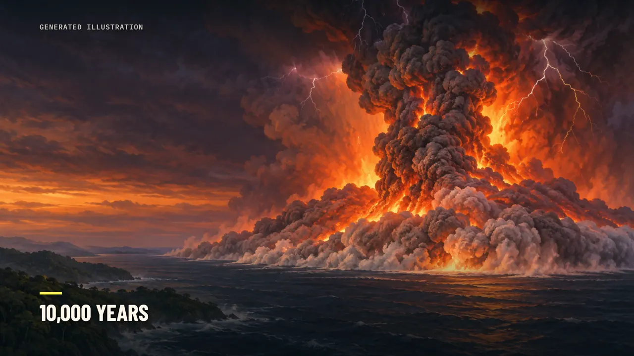
By a 2024 estimate, the largest volcanic eruption of the last 10,000 years happened under the sea, just south of Japan. It came from the Kikai caldera, a volcano that now lies mostly under the sea. A caldera is a huge basin left behind after a volcano erupts, often many times wider than its vents. Volcanoes that erupt hard enough to leave a caldera this size are often called supervolcanoes.
That raises a question many people search for: what happens when a supervolcano erupts? And what about the people living nearby? About 7,300 years ago, Kikai threw out enough magma to bury all of Manhattan under more than two kilometers of solid rock. Scorching flows of ash and gas crossed about 80 kilometers of sea and reached the southern Japanese island of Kyushu.
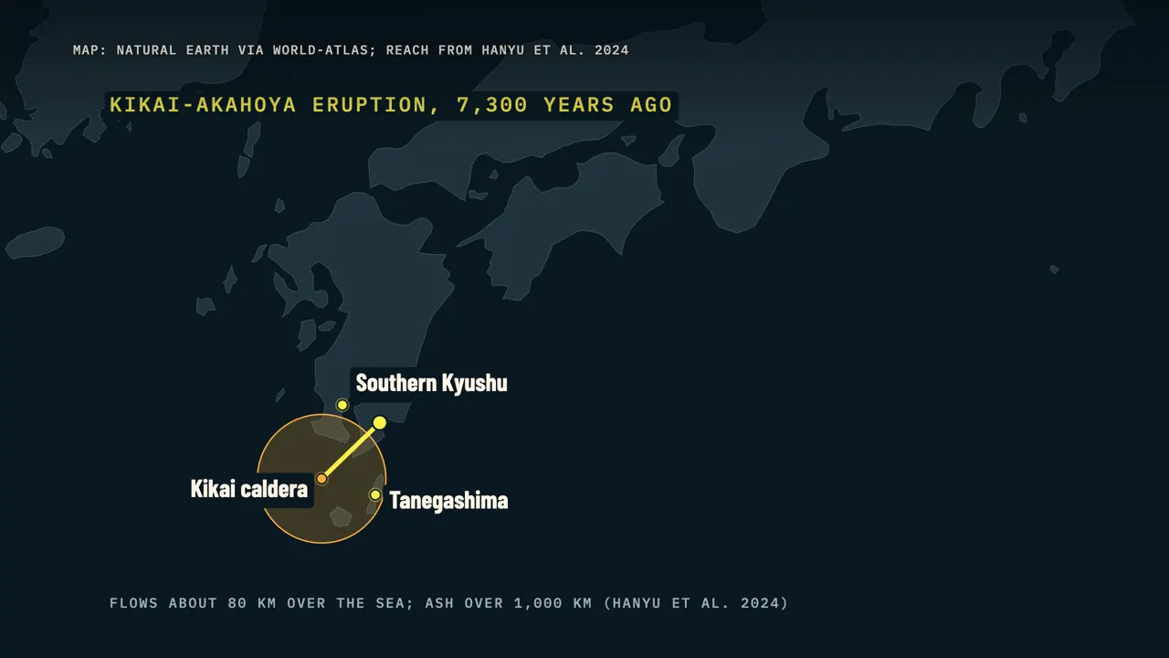
Kyushu was home to the Jomon, hunter-gatherers who lived by gathering, fishing and hunting. For a long time, the story told about them was that the eruption wiped them out. A Japanese government tourism text still tells that story today. In October 2026, a new study in the journal Science Advances put that story to a test across Japan.
For each region, it asked one question: after the eruption, were there more people, or fewer? The answer starts on an island about 50 kilometers from the center of the eruption, where every trace of people suddenly stops. Did the eruption wipe out everyone nearby, or did some people survive?
Where people really vanished

That island is Tanegashima. It's an island of about 450 square kilometers, roughly 50 kilometers from the eruption site. Researchers place it inside the eruption's dead zone. More than 200 Jomon sites are known on the island.
Their numbers had been rising since about 9,000 years ago. Then the known sites disappear from the record. Not one known site sits directly on top of the eruption's ash. The island seems to have been empty of people for several centuries.
The first pottery after the eruption turns up at a site called Tosa, dated to about 7,100 to 6,900 years ago. Even after that, the population stayed low until at least about 5,500 years ago. The plants recovered slowly, and the vegetation stayed poor for at least seven centuries. The people who came back also lived differently.
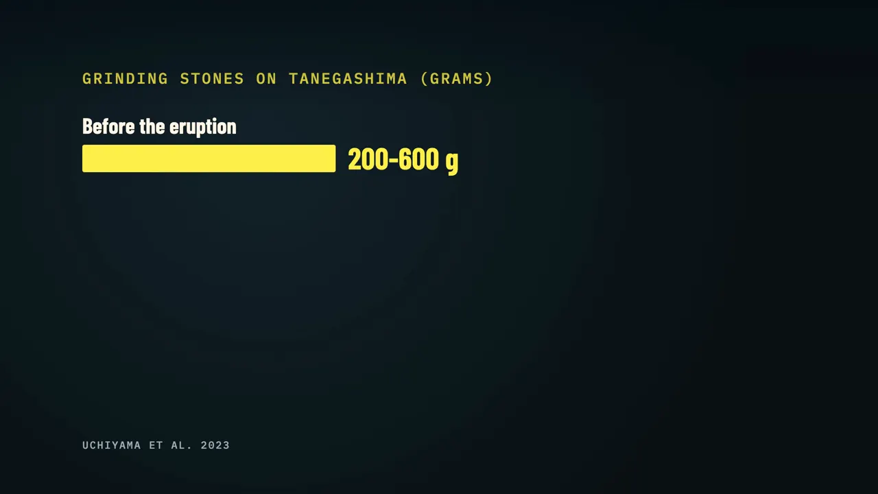
Their grinding stones, used to process plant foods, got much lighter. Before, they weighed about 200 to 600 grams; after, mostly under 200. The researchers behind that work also found that some groups survived in isolated pockets, including some close to the eruption. Archaeologist Mitsuhiro Kuwahata describes "direct continuity in some of their most iconic cultural traditions."
The big Jomon villages of the south had already disappeared thousands of years before the eruption. By the time the volcano struck, southern Kyushu held small, mobile groups who moved often between short-lived camps. The researchers link those earlier changes partly to climate swings, like a cold spell about 8,200 years ago that hurt the forests people relied on.
A caldera under the sea
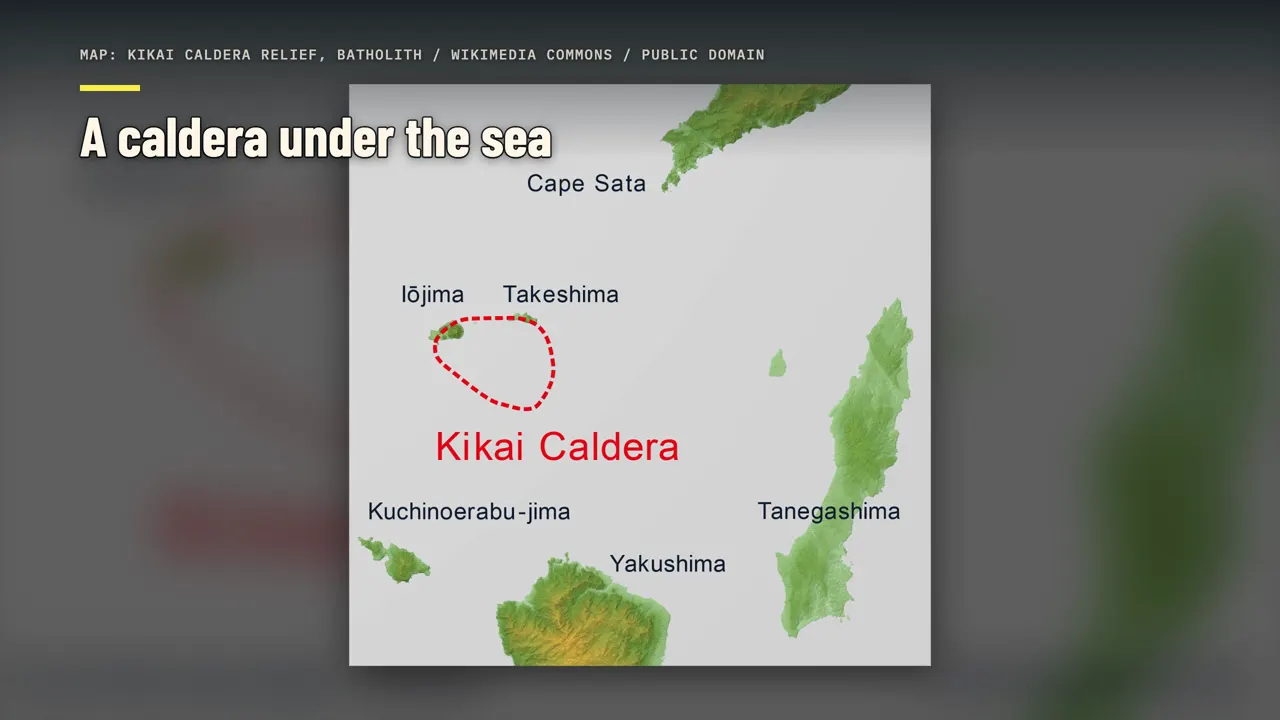
To see why the island emptied, start with the volcano that did it. The Kikai caldera is about 23 kilometers from east to west, and 16 kilometers from north to south. Almost all of it is under water. Only parts of its rim rise above the sea, as two small islands: Satsuma-Iojima and Takeshima.
This caldera has produced at least three giant eruptions: about 140,000 years ago, about 95,000 years ago, and 7,300 years ago. Satsuma-Iojima is still active, and smaller eruptions have been recorded there for decades. In 1934 and 1935, an eruption on the seafloor built a brand-new island, called Showa-Iojima. Iodake, the peak of Satsuma-Iojima, erupted almost every year from 1998 to 2004.
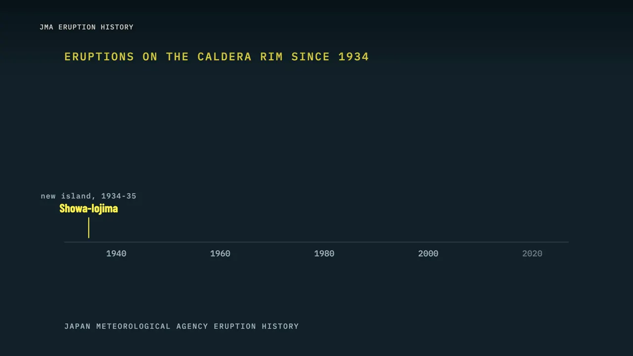
Small eruptions followed in 2013, 2019, 2020, 2024 and 2025. The giant eruption 7,300 years ago has a name: the Kikai-Akahoya eruption, or K-Ah for short. Researchers often call it a "super-eruption," but they put the term in quotation marks. That's because some ancient eruptions were far bigger still, as we'll see at the end.
How big was it?
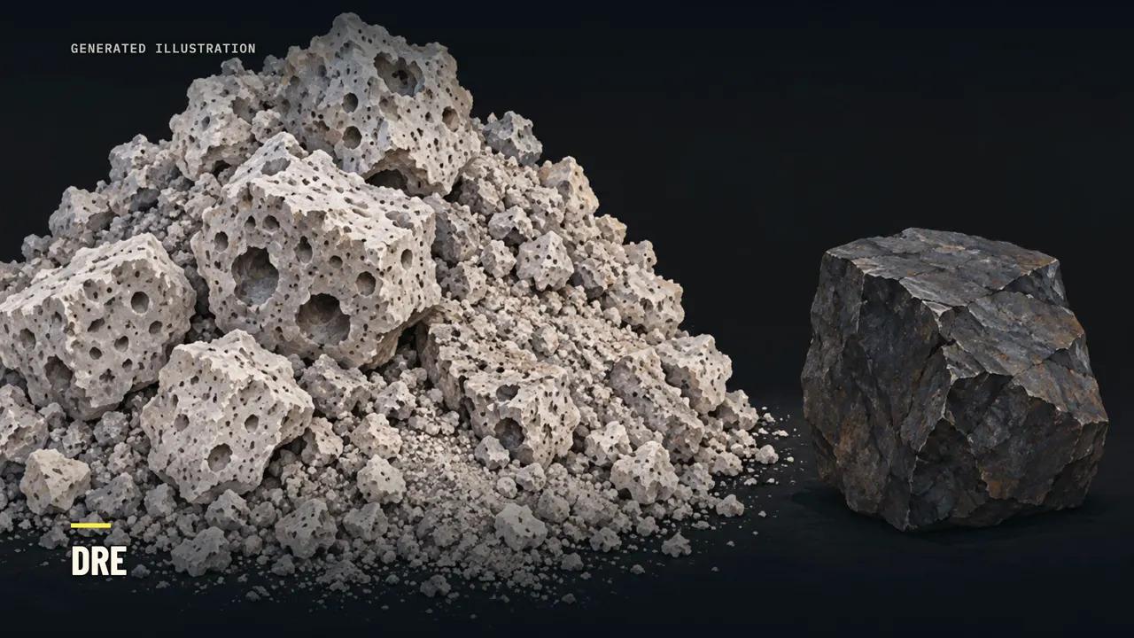
So how big was it? Volcanologists measure an eruption by its dense-rock equivalent. That's the space the ash and pumice would fill if you squeezed out the gas and turned them back into solid rock. In 2024, a Kobe University team surveyed the seafloor around the caldera.
They used sound waves to image buried layers as thin as about three meters, and took samples. They found deposits from the eruption spread over more than 4,500 square kilometers of seafloor. Some of the hot flows had traveled a long way underwater, and even moved uphill. Their new estimate is 133 to 183 cubic kilometers of magma, measured as dense rock.
Older estimates were much smaller, and Japan's weather agency still lists 68 cubic kilometers. The estimate roughly doubled because the new survey counted what settled on the seafloor, not just on land. So the size is a range, and it could change again. For comparison, Tambora in Indonesia erupted about 41 cubic kilometers of magma in 1815, by the same measure.
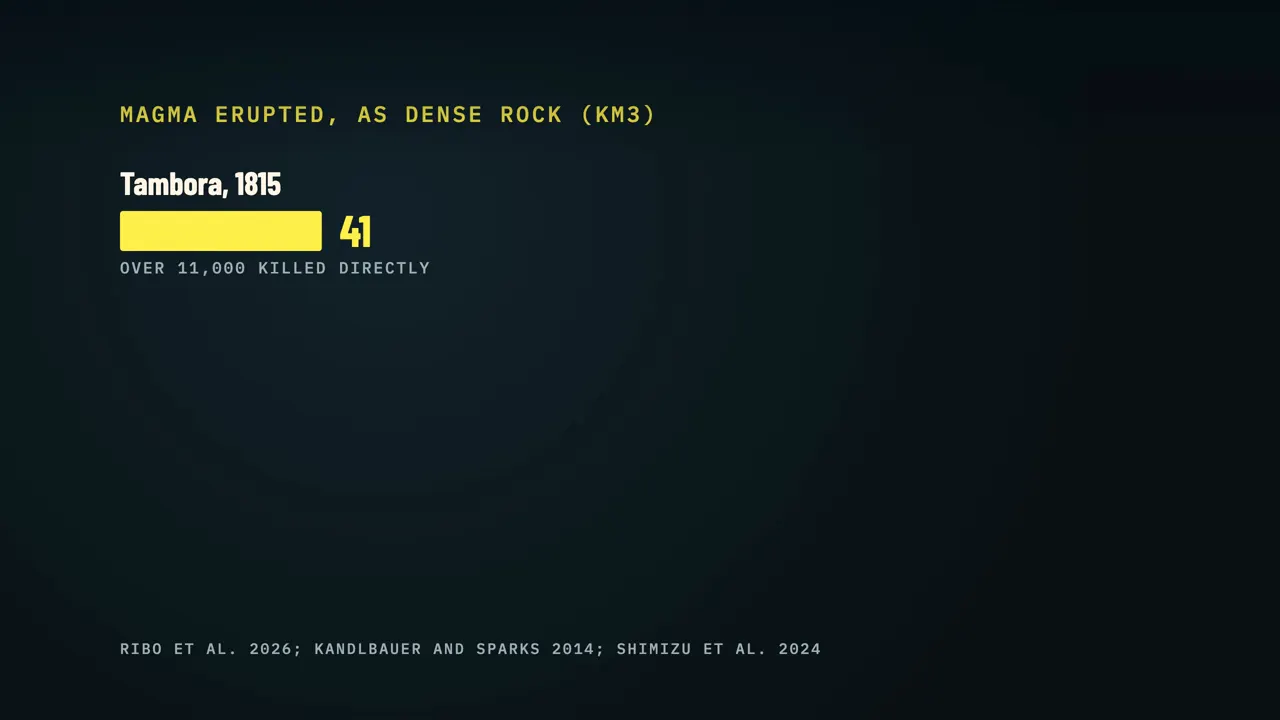
That eruption killed more than 11,000 people directly, and by one estimate about 49,000 more died from famine and disease. Climate models suggest it cooled the global average temperature by about one degree Celsius in 1816. Kikai-Akahoya was roughly three to four and a half times bigger than Tambora. In 2022, Hunga Tonga in the Pacific erupted about 8 cubic kilometers before its underwater caldera collapsed, according to a 2026 seafloor study.
On those numbers, Kikai-Akahoya was something like 17 to 23 times larger. Back at Kikai, the eruption sent out pyroclastic flows. A pyroclastic flow is a fast, chaotic mix of rock fragments, gas and ash, typically hotter than 800 degrees Celsius. These flows crossed the sea and reached southern Kyushu and the islands of Tanegashima and Yakushima.
Ash drifted more than 1,000 kilometers, as far as northern Honshu, and covered more than 2.8 million square kilometers. The eruption also set off large tsunamis and powerful earthquakes. Geologists call everything a volcano throws into the air tephra, from fine ash to large rocks. On Tanegashima, an island near the caldera, the compacted K-Ah tephra is still 20 centimeters to a meter thick.
The old story: wiped out
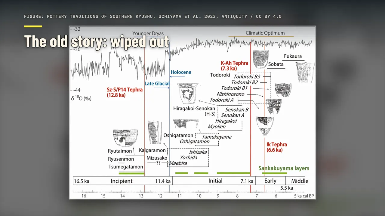
Tanegashima looks like a total wipe-out, and for decades that was the story told for all of southern Kyushu. In 1980 and 1985, Japanese archaeologists studied how pottery styles changed across the ash layer. Their work supported what's now called the demographic replacement model. In that model, the thick ash must have ended all life across Kyushu.
Later, people from other regions moved in and refilled the empty land. The new study calls this the "Jomon Apocalypse" scenario: a region wiped clean, then a long gap, then newcomers. That picture still appears in official text. A multilingual guide from Japan's transport and tourism ministry says the flow wiped out the Jomon people and culture of southern Kyushu.
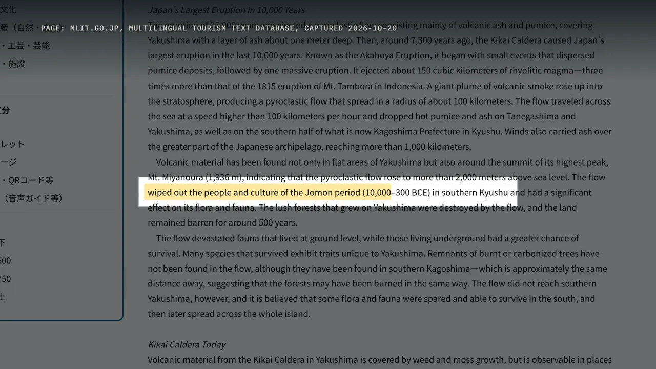
It adds that the land on nearby Yakushima island stayed barren for around 500 years. In 2024, a Japanese science site wrote that the Jomon there were thought to have been destroyed, except for some who fled. But among specialists, the picture had already started to change. In 2016, archaeologist Mitsuhiro Kuwahata reanalyzed the pottery.
Since then, the replacement model has been revised and largely replaced. So the 2026 study isn't the first to doubt the wipe-out story. What it adds is scale: one population model covering all four of Japan's main islands.
The new study: 61 hexagons
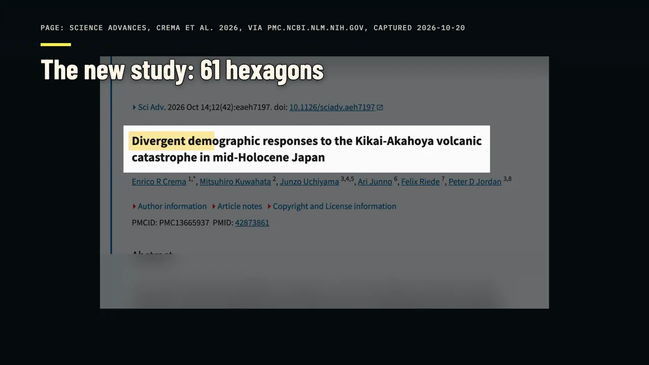
The 2026 study was led by Enrico Crema of the University of Cambridge. Peter Jordan of Lund University was senior author, and the Tanegashima researchers Kuwahata and Uchiyama were among the authors. Its title speaks of divergent demographic responses: different populations reacting in different ways. Instead of one island, they looked at Japan's four main islands.
They divided them into 61 hexagons, each about 125 kilometers across. For each area, they asked a simple question: did the population grow, or shrink, after the eruption? To answer it, they used 540 radiocarbon dates, picked from a national database of more than 42,000. Living things take in carbon from the air or their food, including a little radioactive carbon-14.
When they die, that carbon-14 stops being replaced and decays at a steady rate. Measuring what's left in old charcoal, bone or shell tells you roughly when the organism died. More people usually leave more remains behind, so archaeologists find more datable material. So the number of dates from a period works as a rough stand-in for population, called a proxy.
It isn't a census. Areas with few dates give fuzzier answers, and the models report that as wider ranges. Each date also comes with a margin of error. So the team fitted growth models directly to the dates, using Bayesian statistics to carry each date's error through to the answer.
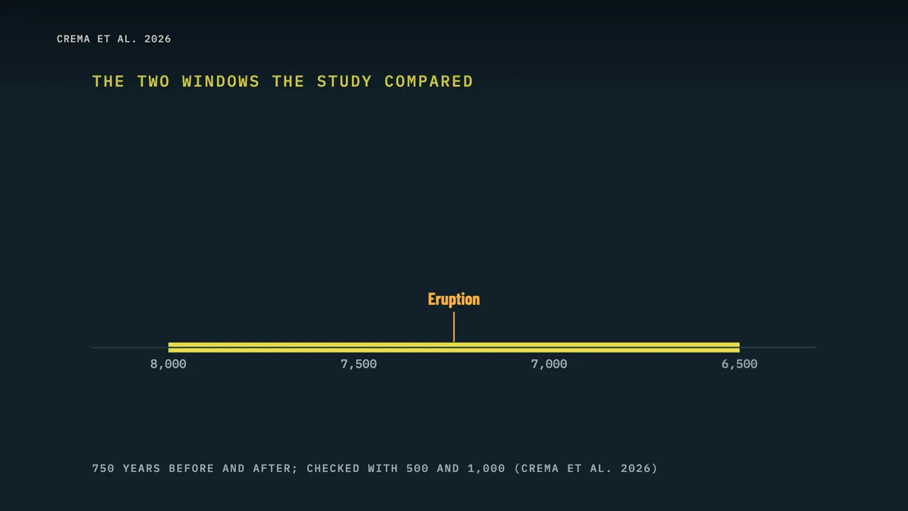
Bayesian here means the answer comes as a range of likely values, each with a probability, rather than one number. The team compared the 750 years before the eruption with the 750 years after. They checked the result with narrower and wider windows, 500 and 1,000 years on each side. They also tested whether thicker ash in an area went with a worse outcome, and compared the results with pottery, tools and settlements.
The result was not one story. Southern and central Kyushu show the biggest drop after the eruption, possibly to the point of abandonment. There, the decline may already have begun before the eruption, and the eruption seems to have sped it up. In the paper's words: "All these regions suffered major damage, extensive depopulation, and, in several areas, an enduring cultural hiatus."
A hiatus means a long break, here a gap in the archaeological record. Crema put it plainly: "The disaster caused major loss of life." At one site in southern Kyushu, Numerikawa No. 2, a camp lies buried under thick ash, with none of the pottery style made by survivors elsewhere. People came back only later, and every piece of obsidian they brought, a volcanic
glass used for tools, came from northern Kyushu, more than 200 kilometers away. But northern coastal Kyushu kept growing. In the paper's words: "Our demographic modeling confirmed population growth continued in northern coastal Kyushu after the eruption." Parts of the coast of western Honshu facing the Sea of Japan also kept growing, in today's Shimane and Tottori.
And some regions far from the volcano, like the area around Ise Bay in central Japan, turned from growth to decline. Thicker ash sometimes went with worse outcomes, but the models couldn't show that ash depth was the cause.
To the northern coast
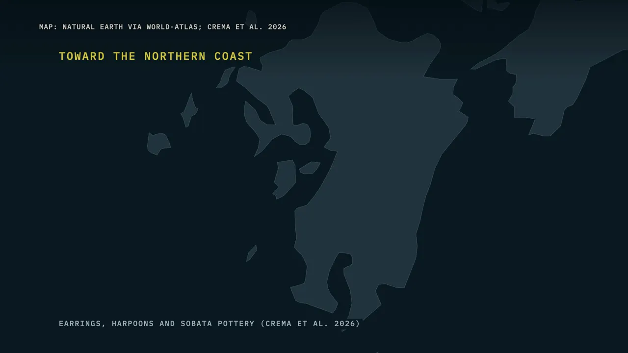
So why would the north grow? Part of the answer may be in small objects. Before the eruption, slit stone earrings, stone rings with a cut on one side, are found only at a few sites in southern Kyushu. Right after it, more of them circulate, and they turn up for the first time at northern coastal sites.
Stone harpoon tips, used to hunt sea mammals, become more common and spread to islands 40 to 80 kilometers off the northern coast. That turn to the sea had started before the eruption, so the eruption may have sped up a trend already underway. Later, a new pottery style called Sobata appears in northwest Kyushu and spreads along the coasts over the following centuries, as far as Korea and the Ryukyu islands.
The authors suggest that survivors may have moved from the damaged south and inland toward the northern coast. There, sea life could have bounced back within months to a few years, while ash-choked rivers needed decades, and buried soils even longer. But the same earrings could also point to new trade networks or alliances between groups. Earrings alone can't identify a refugee, and who moved where still needs testing.
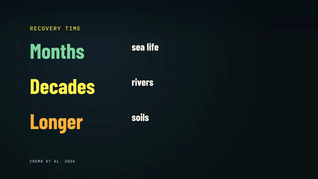
So "they moved north" is one plausible reading of the evidence, not a settled fact. Jordan said that even in the most impossible situations, survivors and communities have choices, however limited. What about the distant regions that declined? Here the authors offer ideas, not answers.
Their growth estimates average over 750 years, so a short setback with a quick recovery would still look like growth. These regions did not show that pattern, so the authors think the damage there lasted for centuries. One possibility is fluoride from the ash poisoning people and animals. Another is the finest ash, the kind most harmful to lungs, drifting farthest.
The third is unusual: gritty ash on plants may have worn down the teeth of deer and wild boar, possibly shortening their lives and leaving hunters less to eat. The paper sums up the Jomon of Kyushu this way: they neither "collapsed" entirely nor simply "survived."
If it happened again
So if an eruption like this happened again, who would survive it today? In a study published in March 2026, researchers from Kobe University and JAMSTEC, Japan's marine science agency, looked under the Kikai caldera using sound pulses and 39 instruments on the seafloor. Between 2.5 and 6 kilometers down, the waves slowed sharply, which the team reads as a sign of hot, partly molten rock.
A magma reservoir is where molten rock is stored under a volcano before it erupts. The team estimates this reservoir at roughly 220 cubic kilometers. But only about 3 to 6 percent of it seems to be molten, 10 percent at most, so it is mostly solid rock. The magma's chemistry suggests it is newly injected, so the volcano appears to be slowly refilling.
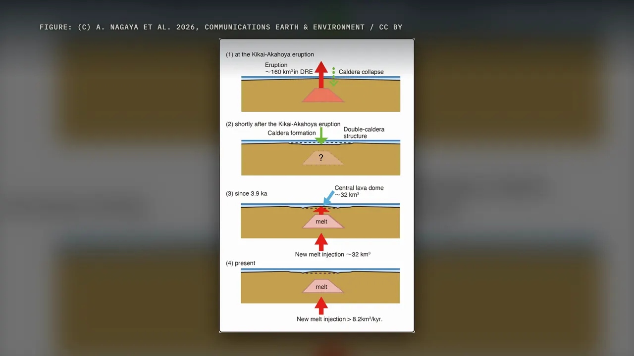
The study gives no timing for another eruption, and says changes in how fast the waves travel are important signs to watch over time. For all of Japan, a 2014 estimate put the chance of a giant caldera eruption within 100 years at about 1 percent. In its worst case, an eruption in central or southern Kyushu could leave up to 120 million people unable to live normal lives. In 2018, news reports turned that into "could erupt and kill 100 million," but that figure
came from a worst case for any giant eruption in Japan, not a forecast for Kikai. For now, Japan's weather agency has an active alert only for the small volcano on the rim: Satsuma-Iojima is at alert level 2, with access restricted within about half a kilometer of its crater.
How people get through it
So what happens to people when a supervolcano erupts? Look at Toba, in Sumatra, about 74,000 years ago. The US Geological Survey puts it at about 2,800 cubic kilometers of magma, as dense rock. That's more than fifteen times the largest estimate for Kikai.
At a site in Ethiopia called Shinfa-Metema 1, researchers found tiny shards of glass from Toba's eruption. After the eruption, the dry seasons there seem to have grown longer. People turned to fishing in the shrinking waterholes of seasonal rivers. The same site has what may be the oldest known evidence of archery.
The Jomon of northern Kyushu seem to have leaned on the sea, and the people at Shinfa-Metema leaned on the river. In both cases, the evidence points to people who could change what they ate and where they lived. On Tanegashima, the land stayed empty for centuries. On the northern coast of Kyushu, the population kept growing.
Under the sea, the magma reservoir beneath Kikai is slowly filling again, and scientists are working out how to watch it. The largest eruption in 10,000 years didn't erase everyone. What happened to people depended on where they were, and on what they could do next.
Watch on YouTube
Sources
- Crema, Kuwahata, Uchiyama, Junno, Riede & Jordan, "Divergent demographic responses to the Kikai-Akahoya volcanic catastrophe in mid-Holocene Japan," Science Advances 12, eaeh7197 (2026); archaeology.wiki report on the study (2026)
- Uchiyama et al., "Disaster, survival and recovery: the resettlement of Tanegashima Island following the Kikai-Akahoya 'super-eruption', 7.3ka cal BP," Antiquity 97 (2023); Stockholm University news (2024)
- Shimizu et al., Journal of Volcanology and Geothermal Research (2024), via Kobe University (2024); Hanyu et al., Communications Earth & Environment 5, 428 (2024)
- Nagaya et al., "Melt re-injection into large magma reservoir after giant caldera eruption at Kikai Caldera Volcano," Communications Earth & Environment 7, 237 (2026); Kobe University release (2026)
- Japan Meteorological Agency: National Catalogue of Active Volcanoes, Satsuma-Iojima eruption history, and volcanic commentary No. 43 (16 October 2026)
- Tatsumi & Suzuki-Kamata (2014) via JST Science Portal; 2018 news reports (CNN Turk; mirror.co.uk via The National)
- Kandlbauer & Sparks (2014) via EGU blog (2022); Ribó et al., Nature Geoscience (2026); USGS Volcano Hazards Program; Kappelman et al., Nature (2024) via UT Austin; Japan MLIT multilingual tourism text database; Nazology (2024); Britannica (carbon-14 dating)
Images and video
- CC BY: Kobe University (SHIMIZU Satoshi, SEAMA Nobukazu, Nagaya et al. 2026 figures); figures and the Aihara ash-layer photo from Crema et al. 2026 and Uchiyama et al. 2023 (CC BY 4.0); Don Ramey Logan (Manhattan, CC BY 4.0)
- Wikimedia Commons: Kikai caldera relief map (Batholith, public domain); K-Ah ash map (Yug, CC BY-SA 3.0); Iodake crater photos (Japan Coast Guard); Jomon vessel, Cleveland Museum of Art (CC0)
- Footage: Himawari-8 loop of the 2022 Hunga Tonga eruption (CSU/CIRA, JMA/JAXA, public domain); Litli-Hrutur, Iceland (Giles Laurent, CC BY-SA 4.0); Manhattan (the Dronalist, CC BY 3.0); Kilwinning Abbey dig (Hugh Loney, CC BY 3.0); Yakushima deer and forest (Geraldshields11, CC BY-SA 3.0); Oregon coast (EagleView, CC BY 3.0); Pexels (Brandon Kirk, Tom Fisk; Pexels License). Footage of other places is labeled on screen and is not the Kikai eruption.
- Maps drawn with Natural Earth data; web pages are shown as captures with the outlet and capture date on screen
- Narration is synthetic. Images marked "Generated illustration" on screen, including the eruption scene, are AI-generated reconstructions, not records of the event.